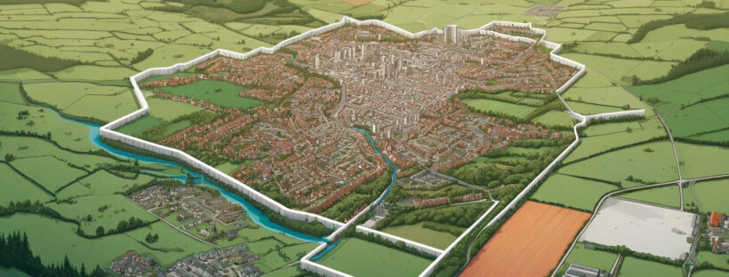
Settlement Policy Boundaries (SPBs) are specific demarcated lines drawn around settlements, such as towns and villages, within a local planning authority’s jurisdiction. These boundaries are defined in local development plans and are used to manage and control development. The primary purpose of SPBs is to guide development to appropriate locations and protect the countryside and other rural areas from urban sprawl.
Key Features and Purposes of Settlement Policy Boundaries:
1. Development Control: SPBs help determine where new development, such as housing, commercial buildings, and infrastructure, is permitted. Development is generally encouraged within these boundaries to make efficient use of land and existing services.
2. Urban-Rural Divide: SPBs clearly delineate the separation between urban areas (where development is appropriate) and rural areas (where development is typically restricted). This helps to protect the character and integrity of the countryside.
3. Sustainable Development: By directing development within established boundaries, SPBs support sustainable development principles. They promote the use of existing infrastructure, reduce the need for new infrastructure, and help maintain compact and efficient settlements.
3. Planning Policy: SPBs are an important tool in local planning policy. They are included in local development plans, such as Local Plans or Neighbourhood Plans, and are used by local planning authorities to assess planning applications and make decisions about land use.
4. Housing and Economic Growth: Within SPBs, local authorities can identify areas suitable for housing, commercial activities, and other development needs. This helps to meet the community’s housing and economic growth objectives in a planned and controlled manner.
Implementation and Review:
Defined in Local Plans: SPBs are established through the local planning process and are defined in documents such as the Local Plan or the Neighbourhood Plan.
Periodic Review: SPBs are periodically reviewed and updated to reflect changes in development patterns, population growth, and planning policies. This ensures that the boundaries remain relevant and effective.
Public Consultation: Changes to SPBs usually involve public consultation, allowing residents and stakeholders to provide input on proposed changes.
Benefits:
Protection of Countryside: SPBs help protect rural areas from inappropriate development, preserving green spaces and the natural environment.
Focus on Urban Areas: By concentrating development within SPBs, local authorities can focus on revitalizing and improving urban areas, making better use of existing services and infrastructure.
Clarity and Certainty: SPBs provide clarity and certainty for developers, landowners, and the public about where development is likely to be acceptable and where it is not.
In summary, Settlement Policy Boundaries are a key planning tool used to manage development, protect rural areas, and promote sustainable growth within settlements. They help to ensure that development occurs in appropriate locations, supporting the overall planning strategy of a local area.
