Objection – 20240623 – 04 — Due to Public Health Concerns.pdf


Material Considerations Used in the Objection, Grouped by Main Categories


  • Mental Health and Well-being: Stress and anxiety from continuous construction.
  • Noise Pollution: Health risks and cognitive impairment from prolonged noise.
  • Community Disruption: Social isolation and disrupted access to services.
  • Air Quality and Respiratory Health: Construction dust and emissions impacting vulnerable populations.
  • Lack of Transparency and Consultation: Undermined public trust due to inadequate consultation.

Disclaimer


Objection – 20240623 – 06 — Based on Deliverability and Sustainability Concerns.pdf


Material Considerations Used in the Objection, Grouped by Main Categories


  • Ecological Impact and Sustainability: Concerns over outdated data and insufficient sustainability measures.
  • Environmental and Flood Risks: Historical flooding issues inadequately addressed.
  • Infrastructure and Service Strain: Inaccurate housing supply figures and repurposed NHS comments.
  • Public Opinion and Community Impact: Significant community opposition and manipulated feedback.
  • Archaeological Concerns: Insufficient mitigation for potential archaeological findings.

Disclaimer


Objection – 20240623 – 05 — Based on the Ecological Impact Assessment.pdf


Material Considerations Used in the Objection, Grouped by Main Categories


  • Significant Biodiversity Net Loss: High loss of biodiversity contrary to planning policies.
  • Insufficient Mitigation and Compensation Measures: Lack of detailed, enforceable plans.
  • Potential Adverse Effects on Local Wildlife: Risks to protected species with inadequate mitigation.
  • Cumulative Impact with Previous Developments: Additional habitat loss and urbanisation.
  • Impact on Non-Statutory Designated Sites: Risks to nearby nature conservation sites.
  • Inadequate Consideration of In-Combination Effects: Lack of comprehensive assessment of cumulative impacts.

Disclaimer


Objection – 20240623 – 03 — Due to Traffic and Access, Flood Risk and Community Impact Concerns.pdf


Material Considerations Used in the Objection, Grouped by Main Categories


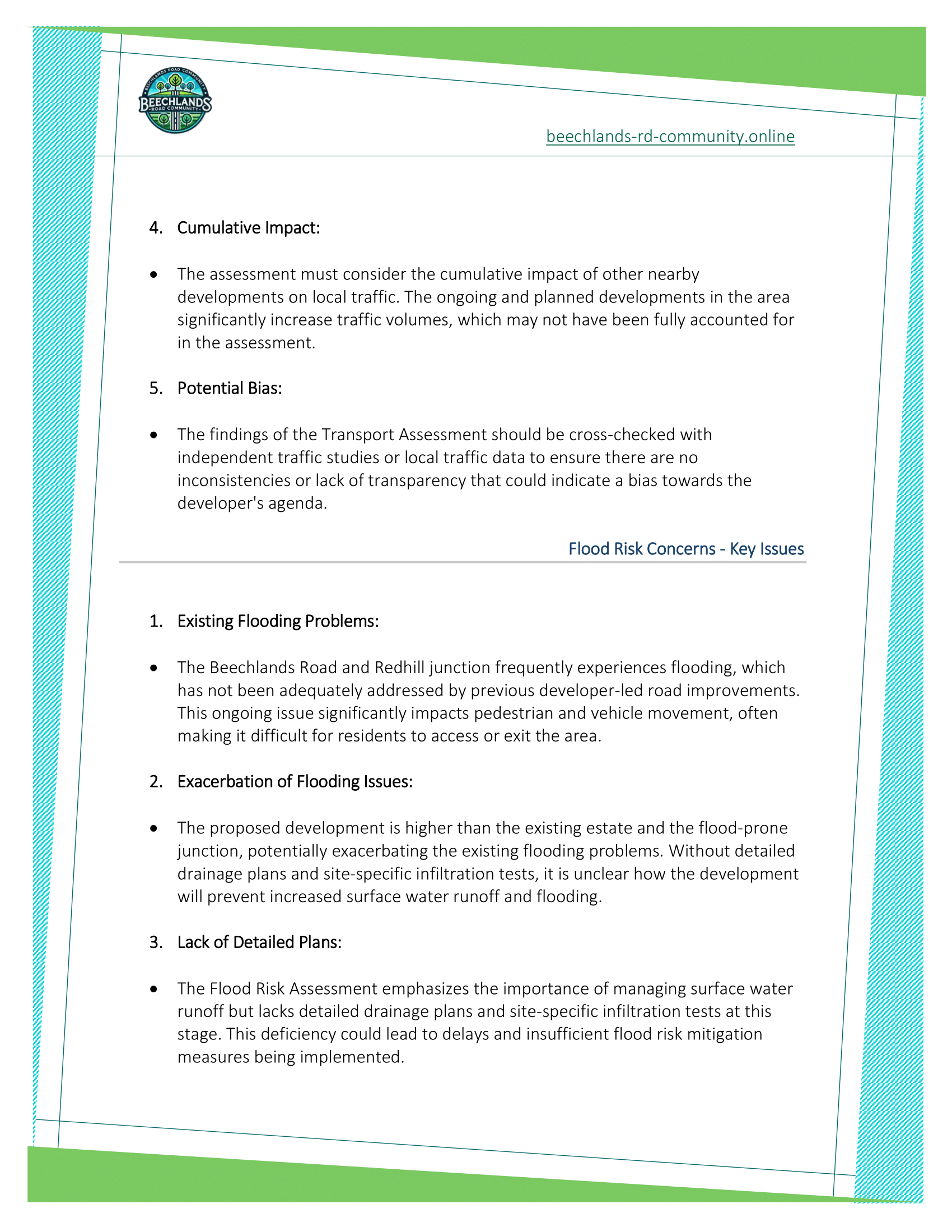
  • Outdated Traffic Data: Reliance on outdated surveys.
  • Survey Methods: Scrutiny of survey methods for accuracy.
  • Feasibility of Mitigation Measures: Evaluation of proposed road improvements.
  • Cumulative Impact: Assessment of cumulative traffic impacts.
  • Existing Flooding Problems: Ongoing flooding issues at Beechlands Road and Redhill junction.
  • Exacerbation of Flooding Issues: Concerns over increased flooding from new development.
  • Lack of Detailed Plans: Insufficient flood risk mitigation details.
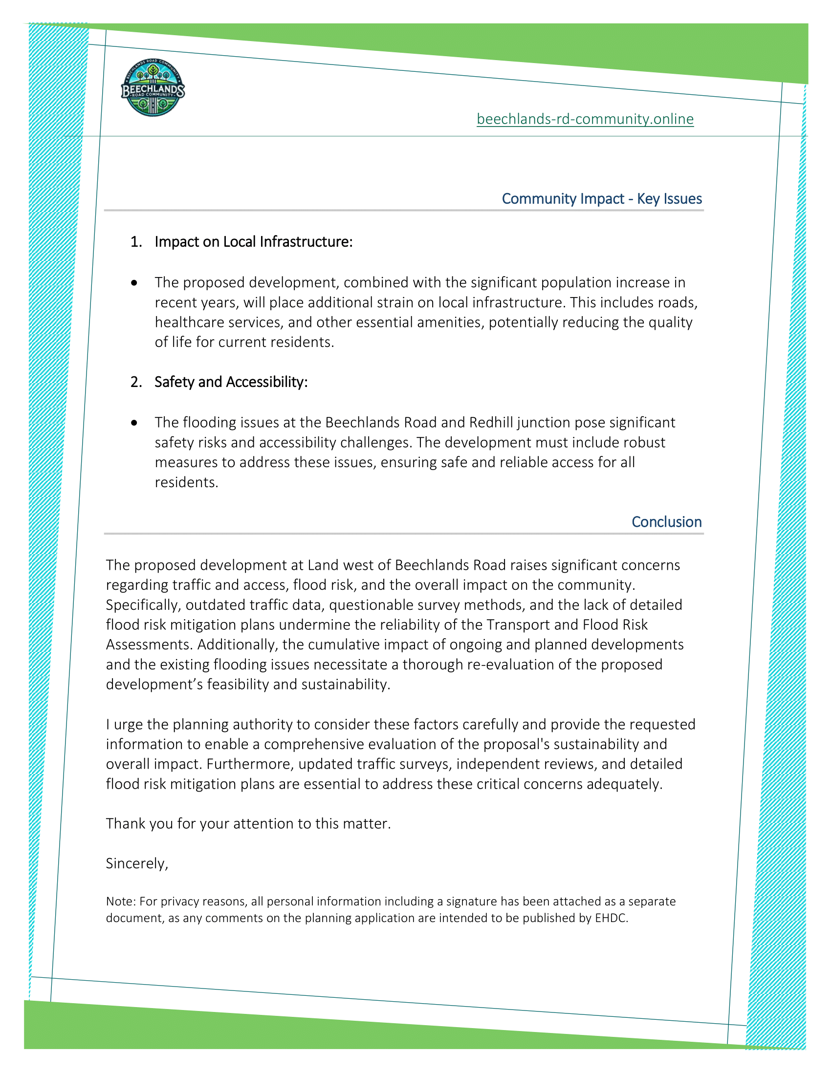
  • Impact on Local Infrastructure: Strain on local services and amenities.
  • Safety and Accessibility: Risks from flooding affecting safety and access.

Disclaimer


Objection – 20240623 – 02 — Due to Inadequate Community Involvement and Lack of Trust.pdf


Material Considerations Used in the Objection, Grouped by Main Categories


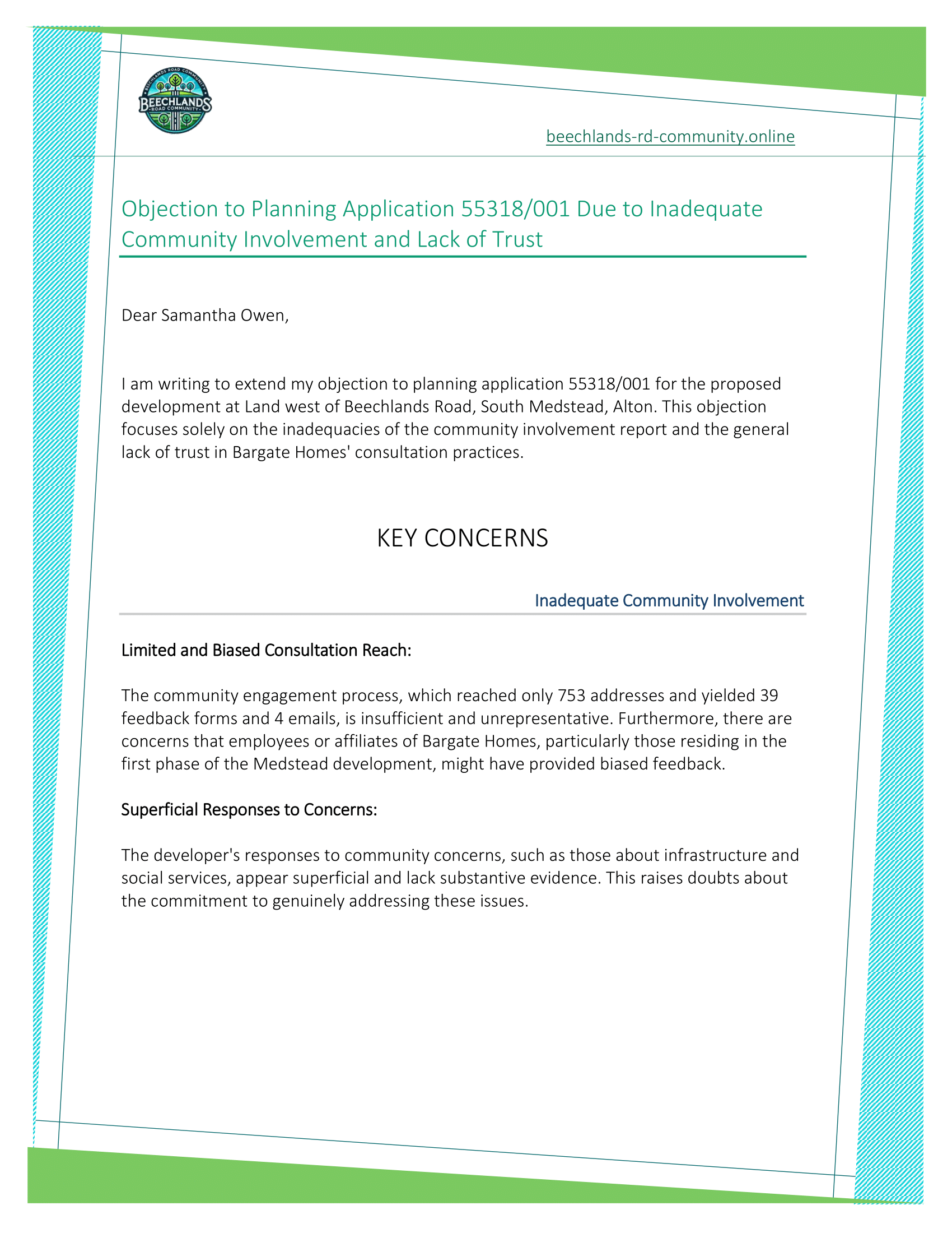
  • Limited and Biased Consultation Reach: Insufficient and potentially biased community engagement.
  • Superficial Responses to Concerns: Developerā€™s inadequate responses to community concerns.
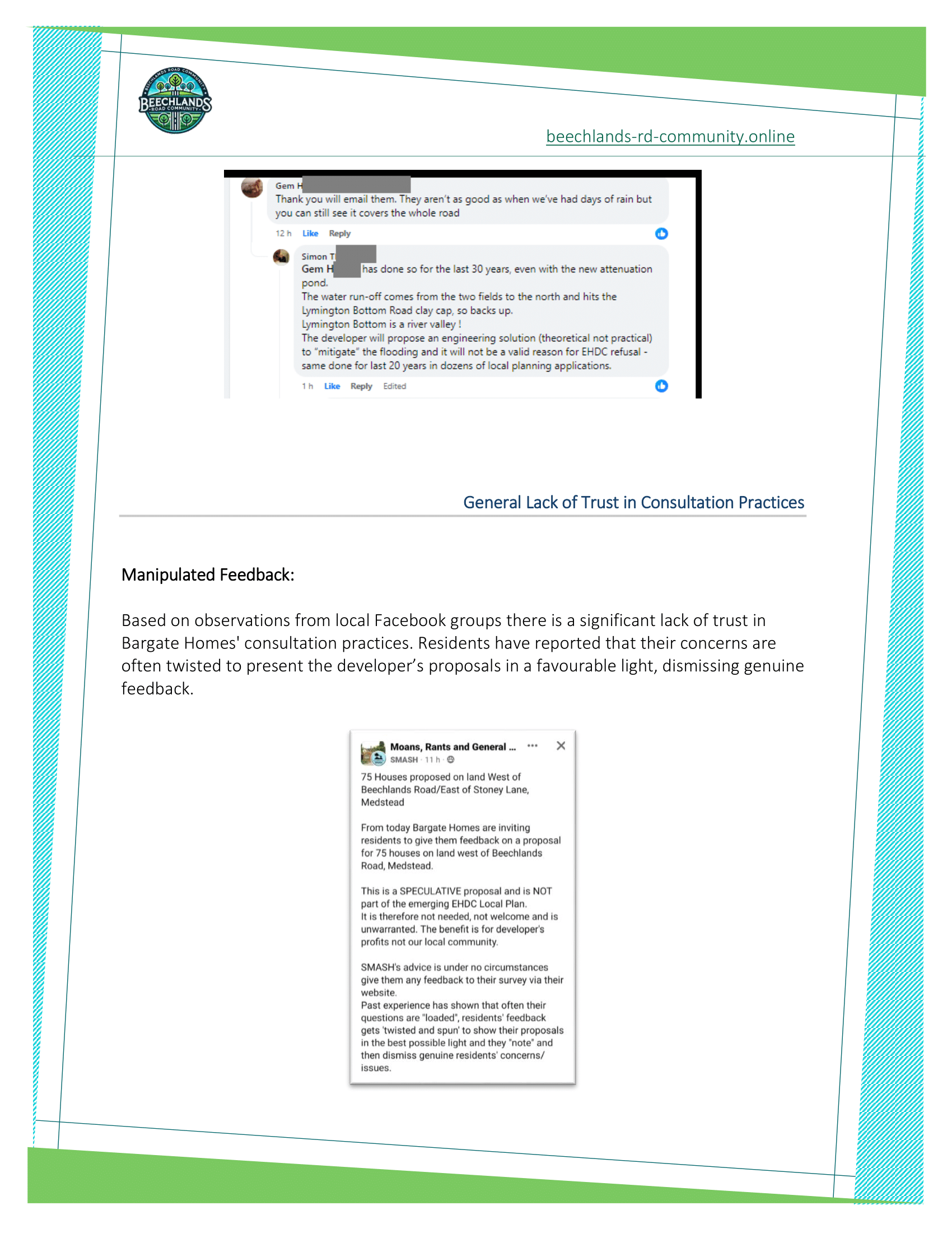
  • Manipulated Feedback: Lack of trust in the consultation practices.
  • Fear of Voicing Opinions: Residents fear repercussions for voicing concerns.

Disclaimer


COVERING_LETTER-1335946.pdf


Establishes:

Outline Application Submission: Provides a summary of the outline planning application for up to 70 dwellings, including details about vehicular and pedestrian accesses, public open space, landscaping, and drainage.

Referenced Documents: Lists the documents and plans submitted as part of the application package, including transport assessment, ecological impact assessment, flood risk assessment, and more…

Weak Points:

General Information: The letter primarily provides an overview without detailed justifications or specific data. It refers to other documents for comprehensive details.

Potential for Overlooked Concerns: If the referenced documents do not fully address key concerns, there may be gaps in the application package.

Documents:

The covering letter for the planning application includes a comprehensive list of documents and plans submitted as part of the application package. Here are the documents and plans referenced:

  1. Application Form and Ownership Certificate (Certificate B)
  2. Planning Statement, incorporating:
    • Sustainability Statement
    • Affordable Housing Statement
    • s106 Heads of Terms (Prepared by SLR Consulting)
  3. Design and Access Statement (Prepared by Thrive Architects)
  4. Statement of Community Involvement (Prepared by SLR Consulting)
  5. Housing Land Supply Assessment (Prepared by Pegasus Group)
  6. Transport Assessment, incorporating:
    • Road Safety Audit (Prepared by iTransport)
  7. Framework Travel Plan (Prepared by iTransport)
  8. Flood Risk Assessment (Prepared by The Civil Engineering Practice)
  9. Utilities Statement (Prepared by The Civil Engineering Practice)
  10. Landscape and Visual Appraisal, including:
    • Associated viewpoint photographs
    • Designation plans (Prepared by SLR Consulting)
  11. Ecological Impact Assessment (Prepared by LC Ecological Services)
  12. Biodiversity Net Gain Metric (Prepared by LC Ecological Services)
  13. Arboricultural Impact Assessment and Method Statement (Prepared by Barrell Tree Consultancy)
  14. Tree Protection Plan (Prepared by Barrell Tree Consultancy)
  15. Manual for Managing Trees on Development Sites (By Barrell Tree Consultancy)
  16. Desk-Based Archaeology Assessment (Prepared by SLR Consulting)
  17. Phase 1 Geo-Environmental and Geotechnical Site Assessment (Prepared by Geo-Environmental)
  18. Lighting Plan (Prepared by Nulty Lighting)
  19. Noise Impact Assessment (Prepared by SLR Consulting)
  20. Sustainability Checklist (Prepared by SLR Consulting)
  21. Validation Checklist (Prepared by SLR Consulting)

What aspects should be evaluated in relation to this document?

LOCAL AND NATIONAL PLANNING POLICIES


Verify Compliance:

  • Ensure the covering letter confirms compliance with relevant local and national planning policies. This includes adherence to all relevant legal and regulatory requirements, obtaining necessary permits, and ensuring the development complies with zoning laws and environmental regulations.

Review Alignment with Policy Objectives:

  • Assess how the proposed development aligns with broader planning objectives outlined in local and national policies, including sustainability goals, housing needs, and infrastructure improvements.

INFRASTRUCTURE AND SERVICES


Assess Impact on Infrastructure:

  • Evaluate how the proposed development will impact local infrastructure, including transportation, utilities, and public services. The covering letter should outline any plans to upgrade or expand infrastructure to accommodate the new development.

RESIDENTIAL AMENITY


Review Impact on Residents:

  • Consider how the development will affect existing residents. The covering letter should address potential impacts on noise levels, privacy, and access to amenities. It should also highlight any proposed measures to mitigate negative impacts on residential amenity.

ENVIRONMENTAL IMPACT


Evaluate Environmental Considerations:

  • Assess how the development addresses environmental concerns. The covering letter should mention strategies for minimizing the environmental footprint, such as sustainable building practices, green spaces, and conservation efforts.

DESIGN AND APPEARANCE


Review Architectural and Landscape Design:

  • Examine the proposed architectural and landscape design elements. The covering letter should provide an overview of how the design complements the existing neighborhood and enhances the visual appeal of the area.

PUBLIC OPINION


Assess Community Involvement:

  • Evaluate the extent of community involvement in the planning process. The covering letter should detail any community consultations that have taken place and how feedback from residents has been incorporated into the development plans.

Disclaimer


CONSTRAINTS_AND_OPPORTUNITIES_PLAN-1335979.pdf

Constraints and Opportunities Plan


The Constraints and Opportunities Plan visually represents various key features and considerations for the proposed development site. This plan is essential for understanding the limitations and potential enhancements for the project. Key elements marked on the map include:

  1. Site Boundary: The outer limits of the development area are clearly defined.
  2. Site Access: Points of entry and exit to the site are indicated, ensuring accessibility.
  3. Public Rights of Way (Bridleway): Existing public paths available for use, particularly for horse riding, are highlighted.
  4. Proposed 2m Footpath: New pedestrian pathways are planned to improve accessibility within the site.
  5. Existing Vehicular Route: Current roads and pathways used by vehicles within the site are marked.
  6. Existing Trees:
    • Category A and B: High and moderate-quality trees that are significant for retention are shown.
    • Category C: Low-quality trees or those with limited life expectancy are also identified.
  7. Root Protection Area for Category A and B Trees: Zones designated to protect the roots of important trees during construction.
  8. Potential Green Arrival Space: Proposed areas for green, welcoming spaces at entry points to enhance the aesthetic and ecological value.
  9. Opportunity for Single Storey Development: Identified areas suitable for the development of single-story buildings, ensuring that the scale of development is appropriate for the context.
  10. Indicative Contours: Topographical information showing the landscapeā€™s elevation changes, helping to understand the site’s natural form.
  11. Views:
    • Views Out to Open Countryside: Areas with scenic views of the surrounding countryside.
    • Partial Public Views into the Site: Locations where the public can partially see into the site.
    • Open Public Views into the Site: Spots offering full views into the site for the public.
  12. Local Green Space: Stoney Lane Strip: A designated local green area within or adjacent to the development site.
  13. Low Surface Water Flood Risk Zone: Areas identified as having minimal risk of flooding from surface water.
  14. Existing Public Foul Sewer: Locations of current sewage infrastructure, important for planning utility connections.
  15. Existing Trees and Hedgerows to be Safeguarded and Strengthened: Areas where existing vegetation is to be preserved and enhanced.
  16. Potential Ecological Buffer of Minimum 2m: Suggested buffer zones to protect ecological features, ensuring a minimum distance to mitigate environmental impact.
  17. Proposed Landscape Buffers:
    • To Local Green Space/Cawk House and Retained/Enhanced Vegetation: Buffers to integrate the development with the surrounding natural areas.
    • To Bridleway and Retained/Enhanced Vegetation: Buffers along the bridleway to protect and enhance the existing vegetation.

Key Features and Notations on the Map:

  • The map includes notations and symbols for various features, providing a clear visual guide to the development constraints and opportunities.
  • Areas with different colours and patterns indicate specific zones and features, such as green spaces, footpaths, and vehicular routes.
  • The plan incorporates existing natural features like trees and hedgerows, ensuring their protection and integration into the development.

This plan serves as a comprehensive guide for planners, developers, and stakeholders, ensuring that the development respects existing natural features and infrastructure while capitalising on opportunities to enhance the siteā€™s environmental and social value.

Weak Points:

  1. Potential Overlook of Smaller Ecological Features:
  • The focus may primarily be on major ecological features (e.g., Category A and B trees), potentially overlooking smaller but still significant ecological components.

2. Risk of Inadequate Buffer Zones:

  • The suggested buffer zones might not be sufficient in all areas to protect sensitive ecological zones from construction impact.

3. Limited Detail on Soil and Water Management:

  • The plan might lack comprehensive details on managing soil erosion and water runoff, especially in areas marked as low surface water flood risk zones.

4. Potential Public Access Challenges:

  • While public rights of way and footpaths are indicated, there may be challenges in ensuring these are adequately accessible during all phases of development.

5. Integration of Proposed and Existing Infrastructure:

  • The plan may not fully address how new infrastructure will integrate with existing systems, particularly concerning utilities and roadways.

What aspects should be evaluated in relation to this document?

ENVIRONMENTAL IMPACT


Assess Protection Measures for Ecological Features:

  • Ensure that the protection measures for Category A and B trees, as well as other significant vegetation, are robust and comprehensive. Verify that the Root Protection Areas (RPAs) are adequate and effectively managed.

Evaluate Buffer Zone Adequacy:

  • Review the proposed ecological buffer zones to determine if they provide sufficient protection for sensitive habitats and ecological corridors. Consider increasing the buffer zones if necessary to ensure environmental protection.

Review Soil and Water Management Plans:

  • Ensure the plan includes detailed strategies for managing soil erosion and water runoff, particularly in areas identified as low surface water flood risk zones. These measures are crucial to prevent environmental degradation during and after construction.

DESIGN AND APPEARANCE


Evaluate Integration of Green Spaces:

  • Assess how well the proposed green arrival spaces and landscape buffers integrate with the overall design of the development. These elements should enhance the visual appeal and provide functional green areas for residents and wildlife.

Check Compatibility of Single-Storey Development Opportunities:

  • Ensure that the areas identified for single-storey development fit within the context of the surrounding environment and community. The design should complement the existing landscape and built environment.

Consider Views and Sightlines:

  • Evaluate the impact of the development on key views, including views out to the countryside and public views into the site. The development should enhance rather than obstruct these views, maintaining a visual connection with the natural surroundings.

RESIDENTIAL AMENITY


Review Accessibility and Connectivity:

  • Assess the accessibility of the proposed footpaths, bridleways, and vehicular routes. Ensure that these routes are well-integrated into the existing infrastructure and provide safe, convenient access for all residents.

Evaluate Impact on Local Green Space Usage:

  • Consider how the development will impact the usage of local green spaces, such as the Stoney Lane Strip. Ensure that these areas remain accessible and enjoyable for the community.

Consider Impact on Resident Experience:

  • Evaluate how the proposed development will affect the overall living experience of residents, including aspects like noise, privacy, and access to nature. The development should enhance residential amenity by providing well-designed, accessible, and attractive green spaces.

Community Engagement:

  • Review Community Involvement: Consider how the community has been involved in the planning process. Ensure that there has been adequate consultation and that community feedback has been incorporated into the plan.

Health and Wellbeing:

  • Assess Impact on Public Health: Evaluate how the development will impact public health, including access to green spaces, recreational areas, and clean air. Ensure that the design promotes healthy living environments.

Additional Material Considerations


Evaluate Traffic Flow and Safety:

Assess how the proposed vehicular routes and access points will impact traffic flow and safety within and around the development site. Ensure that the design minimises congestion and provides safe access for vehicles and pedestrians.

Review Public Rights of Way:

Ensure that public rights of way, such as bridleways and footpaths, are adequately maintained and integrated into the development. Consider any potential disruptions and plan for safe and accessible routes during construction.

Assess Utility Integration:

Evaluate how existing utilities (e.g., public foul sewers) will be integrated with new infrastructure. Ensure that the development does not overburden existing services and includes plans for any necessary upgrades.

Review Drainage and Flood Risk Management:

Examine the strategies for managing surface water drainage and flood risk, especially in areas identified as low surface water flood risk zones. Ensure that the development includes sustainable drainage systems (SuDS) and other measures to mitigate flood risks.

Promote Sustainable Building Practices:

Check if the plan encourages the use of sustainable building practices and materials. Evaluate how these practices contribute to reducing the environmental footprint of the development.

Evaluate Energy Efficiency Measures:

Assess the proposed developmentā€™s energy efficiency measures, such as the inclusion of renewable energy sources and energy-efficient building designs.

Assess Impact on Heritage Sites:

Evaluate if there are any nearby heritage sites or conservation areas that could be affected by the development. Ensure that the design respects and preserves the historical and cultural significance of these areas.


Disclaimer


ARCHAEOLOGY_ASSESSMENT-1335974.pdf


Key Points:

  • The site has archaeological potential due to its proximity to Romano-British and prehistoric remains.
  • Baseline research indicates low potential for significant archaeological remains.
  • Four Grade II listed buildings within 1km of the site, no scheduled monuments within the study area.
  • Field observations revealed no significant archaeological features.
  • Previous fieldwork in the vicinity found limited archaeological features, primarily of prehistoric and post-medieval periods.

Summary:

The archaeological assessment suggests that while there is some potential for archaeological remains, the significance is likely low. The proposed development includes measures for archaeological mitigation to assess and record any deposits found during construction.

Weak Points:

  • Limited archaeological fieldwork on-site could mean unexpected finds during construction, potentially causing delays.
  • The presence of nearby listed buildings necessitates careful consideration to avoid impact on their settings.

What aspects should be evaluated in relation to this document?

HERITAGE AND CONSERVATION


Assess Potential Archaeological Findings:

  • Evaluate the likelihood of discovering archaeological artifacts or features within the development site. This involves assessing the site’s historical significance and any previous findings in the area.

Review Protection Measures for Archaeological Sites:

  • Ensure that there are adequate measures in place to protect any potential archaeological sites during construction. This includes plans for excavation, documentation, and preservation of artifacts.

Evaluate Historical Significance:

  • Assess the historical significance of the site based on the findings of the archaeological assessment. This includes understanding the cultural and historical context of any discovered artifacts or features.

Review Conservation Strategies:

  • Ensure that there are robust strategies in place for the conservation of archaeological findings. This might include on-site preservation, relocation, or documentation and display in local museums or heritage centers.

Ensure Compliance with Heritage Laws:

  • Verify that the archaeological assessment complies with all relevant heritage and conservation laws and regulations. This includes obtaining necessary permits and adhering to guidelines for excavation and preservation.

Review Documentation and Reporting Requirements:

  • Ensure that the archaeological assessment includes thorough documentation and reporting of findings, as required by regulatory bodies. This documentation is essential for legal compliance and historical records.

DESIGN AND APPEARANCE


Evaluate Integration with Development Plans:

  • Assess how the potential for archaeological findings will be integrated into the overall development plans. Ensure that the design allows for the preservation of significant archaeological sites and features.

Consider Impact on Historical Landscape:

  • Review how the development might impact the historical landscape and visual appearance of the area. The design should respect and enhance the historical context of the site.

INFRASTRUCTURE AND SERVICES


Assess Impact on Construction and Development Schedule:

  • Consider how archaeological assessments and potential findings might affect the construction timeline and development schedule. Plans should include contingencies for delays related to archaeological work.

Review Coordination with Infrastructure Planning:

  • Ensure that the archaeological assessment is coordinated with infrastructure planning, particularly in areas where significant findings might alter the placement of utilities and services.

RESIDENTIAL AMENITY


Review Community Involvement:

  • Consider how the community has been involved in the planning process. Ensure that there has been adequate consultation and that community feedback has been incorporated into the plan.

Consider Public Interest and Involvement:

  • Evaluate how the community has been informed and involved in the archaeological assessment process. Public interest in local history can be a valuable asset in promoting community support for the project.

Review Educational and Interpretive Opportunities:

  • Assess opportunities for using archaeological findings for educational and interpretive purposes. This might include creating informational displays, tours, or integrating findings into community programs.

Disclaimer


APPENDIX_4_-_SUSTAINABILITY_CHECKLIST-1335970.pdf


Establishes:

Energy Efficiency: The checklist outlines proposed measures for achieving energy efficiency in the development, such as aiming for a minimum of 31% carbon reduction and integrating renewable energy technologies like air source heat pumps and photovoltaic panels.

Biodiversity: Commitment to achieving a minimum of 10% biodiversity net gain, with plans to incorporate water butts, sustainable drainage systems (SuDS), and maintain green infrastructure.

Construction Practices: Plans to consider sustainable sourcing of materials, waste management, and the potential reuse of building materials.

Weak Points:

Deferred Details: Many critical details, including specific energy efficiency measures and SuDS, are deferred to the Reserved Matters (RM) stage, which means there’s no immediate commitment to these measures.

Lack of Specific Commitments: While the document outlines intentions, it lacks specific, immediate commitments, creating uncertainty about the actual implementation and effectiveness of the proposed measures.

Potential Implementation Gaps: The success of the sustainability measures depends on detailed plans and execution at the RM stage, which might differ from the initial proposals.

What aspects should be evaluated in relation to this document?

Sustainability


Check if the checklist addresses the need for sustainable building practices and energy efficiency. Assess how these practices contribute to reducing the environmental impact of the development.

Environmental Impact


Evaluate the implementation of measures like Sustainable Drainage Systems (SuDS) and biodiversity net gain. Determine if these measures effectively support ecological balance and mitigate the environmental impact.

Infrastructure and Services


Examine how water efficiency and renewable energy technologies are integrated into the development. Consider their effectiveness in reducing demand on local infrastructure and promoting sustainable resource use.


Disclaimer


APPLICATION_FORM_REDACTED-1335944.pdf


Establishes:

Basic Application Information: Provides essential details about the application, including the site location, description of the proposed development (up to 70 dwellings with vehicular and pedestrian accesses, public open space, landscaping, and drainage), and the developer’s details.

Document References: Confirms the submission of various supporting documents, such as the Design and Access Statement, Services Plan, and Flood Risk Assessment.

Residential Units: Specifies the types and numbers of proposed residential units, including market and affordable housing.

Weak Points:

General Information: The application form itself does not provide detailed justifications or assessments but references other documents for comprehensive details.

Potential Gaps in Application Package: If referenced documents do not fully address key concerns, there may be gaps in the application package.

Lack of Immediate Detail: The form defers many specifics to the supporting documents, requiring thorough review of all referenced materials to get a complete understanding of the proposal (over 1k pages).

Material Consideration Explanation:

Local and National Planning Policies: The application form confirms compliance with planning policies, which is crucial for obtaining approval.

Infrastructure and Services: The details about vehicular and pedestrian accesses, public open space, and drainage impact local infrastructure and services, ensuring the development meets community needs.

Residential Amenity: Information about residential units impacts the assessment of the development’s fit within the community, considering factors like housing type, density, and mix.


What aspects should be evaluated in relation to this document?

Local and National Planning Policies


Review the application form to confirm that the development adheres to local and national planning policies. This is crucial for obtaining approval and ensuring the project aligns with broader planning objectives.

Infrastructure and Services


Assess Access and Connectivity: Examine the details about vehicular and pedestrian access to ensure they are sufficient and well-integrated into the existing infrastructure. Consider whether the proposed access points meet safety standards and provide convenient routes for future residents.

Evaluate Public Open Space Provision: Check the plans for public open spaces to ensure they meet community needs and contribute to the quality of life. This includes assessing the size, location, and intended use of these spaces.

Analyse Drainage Plans: Review the drainage plans to understand their impact on local infrastructure. Ensure that the development will not exacerbate existing drainage issues and that it includes sustainable drainage solutions.

Residential Amenity


Evaluate Housing Type and Density: Consider the types of residential units proposed, their density, and how they fit within the existing community. Assess whether the mix of housing types meets local demand and contributes to a balanced community.

Assess Impact on Community Fit: Examine how the proposed residential units integrate with the surrounding area in terms of architectural style, scale, and overall design. Ensure that the development enhances the character of the community and does not create incongruities.
Disclaimer